Be prepared for Storm Dudley and Storm Eunice as strong winds forecast this week
Shropshire residents are being asked to be prepared for some potentially severe weather later on, from today (Wednesday 16 February 2022) and particularly into the weekend.
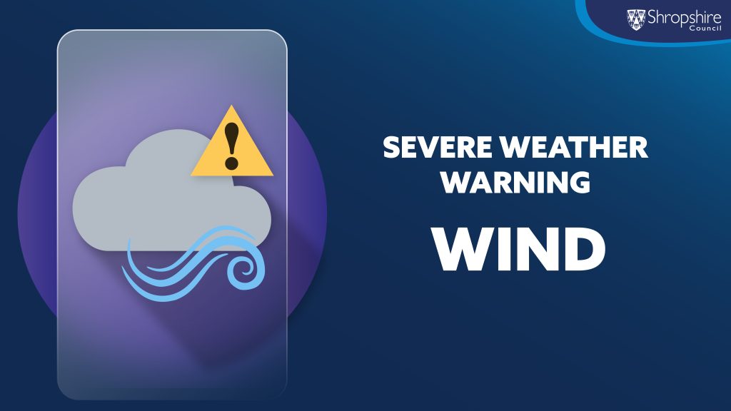
Severe weather warning: Wind
The call out follows the latest Met Office update on Storm Dudley which is pushing across northern UK today and could see some strong gusty winds at times across county, during Wednesday afternoon/evening and overnight into Thursday 17 February morning. This means that it’s possible we could well see some instances of tree damage and power outages during Wednesday/Wednesday night and perhaps some damage to transport infrastructure too.
Possible significant disruption on Friday 18 February
The news of a second and more stronger storm system Storm Eunice which is due to hit the UK on Friday, may cause significant disruption due to extremely strong winds. Whilst there is still some uncertainty in the track of Eunice, there is an increasing likelihood of widespread inland wind gusts of 60-70 mph and up to 80 mph in a few places. Residents are being advised to keep up to date with the weather forecasts.
What to expect
- There is a good chance that flying debris could result in a danger to life.
- Damage to buildings and homes is likely, with roofs blown off and power lines brought down.
- Roads, bridges and railway lines are likely to close, with delays and cancellations to bus, train, ferry services and flights.
- Large waves are likely, and beach material is likely to be thrown onto sea fronts, coastal roads and properties.
- There is a good chance that power cuts, possibly prolonged, could occur and possibly affect other services, such as mobile phone coverage.
- It is likely there will be falling branches and some uprooted trees.
Be prepared, stay safe and protect property
Gales are the most common cause of damage and disruption in the UK. Strong winds can cause serious damage to property, blocking roads and knocking down power and telephone cables. The Met Office provides some good advice to help you prepare and to help protect your property.
Before the storm
- Secure loose objects such as ladders, garden furniture or anything else that could be blown into windows and other glazing and break them
- Close and securely fasten doors and windows, particularly those on the windward side of the house, and especially large doors such as those on garages
- Park vehicles in a garage, if available; otherwise keep them clear of buildings, trees, walls and fences
- Close and secure loft trapdoors with bolts, particularly if roof pitch is less than 30°
- If the house is fitted with storm shutters over the windows then ensure that these are closed and fastened
- If chimney stacks are tall and in poor condition, move beds away from areas directly below them.
During the storm
- Stay indoors as much as possible
- If you do go out, try not to walk or shelter close to buildings and trees
- Keep away from the sheltered side of boundary walls and fences – if these structures fail, they will collapse on this side
- Do not go outside to repair damage while the storm is in progress
- If possible, enter and leave your house through doors in the sheltered side, closing them behind you
- Open internal doors only as needed, and close them behind you
- Take care when driving on exposed routes such as bridges, or high open roads, delay your journey or find alternative routes if possible
- Slow down and be aware of side winds, particular care should be taken if you are towing or are a high sided vehicle
- Do not drive unless your journey is really necessary.
After the storm
- Be careful not to touch any electrical/telephone cables that have been blown down or are still hanging
- Do not walk too close to walls, buildings and trees as they could have been weakened
- Make sure that any vulnerable neighbours or relatives are safe and help them make arrangements for any repairs.
Get the latest updates
- Sign up to the latest weather updates on from the Met Office Met Office (govdelivery.com)
- Find the latest on traffic information and road closures at Traffic information and road closures | Shropshire Council
- For flood information and advice visit Drainage and flooding | Shropshire Council
- Sign up to flood warnings at Sign up for flood warnings – GOV.UK (www.gov.uk)
- Follow Shropshire Council on:
Report a fallen tree
- To report a fallen tree that is blocking or partially blocking a road, please call 0345 678 9006. For more information visit Report a highways fault or concern | Shropshire Council
Dean Carroll, Shropshire Council’s Cabinet member responsible for highways, said:-
“Following the Met Office warning, whilst we’re not certain at this time that we may see these dramatic weather conditions Wednesday afternoon/evening and towards the end of the week, we want to make residents aware of potential impacts.
“With gusts of winds like this, we expect to see instances of branches and trees being brought down over the weekend. As a result, we may see some temporary road closures and possible disruption to other forms of travel. The gusty nature of the winds will make for difficult driving conditions and there is also a strong possibility that there could be damage to some buildings and structures.
“We are therefore urging all everyone to take care and follow the latest weather updates.”
Further advice and information
- Information and advise for when dealing with severe weather can be found here Dealing with severe weather | Shropshire Council